
Page 12 - ‘A Blaker Family History’ The family history of Joseph Blaker (1916-2007; ‘Joe’)
P. 12
© The Blaker Society
© The Blaker Society
cluster around Bolney Common. These parts are now united physically as a
result of extensive building development along The Street.
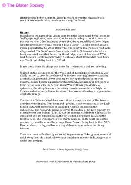
Bolney O.S. Map, 1896
History
It is believed the name of the village came from the Saxon word ‘Bolne’, meaning
‘a village (or high place) near marsh’, as the area is on high ground, in an area
that was marshy. Other historians believe that the name, whilst of Saxon origin,
came from two Saxon words, meaning ‘Bolla’s Island’ – i.e. high ground above a
marsh, populated by the Saxon Bolla tribe. It is believed that the main road in the
village, called ‘The Street’, was a Saxon route north to St. Leonard’s Forest – a
heavily forested area, that lies on the Weald ridge, south of the current A264
road, between Horsham and Crawley. A walkway of oak timbers has been found
near The Street, dating back to c. 972 AD.
In mediaeval times the village was noted for its cherry fair and iron smelting.
Situated on the lower slopes of the Weald and St. Leonard’s Forest, Bolney was
ideally located to provide the charcoal for the iron smelting furnaces at nearby
Cuckfield, Slaugham and Lower Beeding. Following the decline of the iron
industry, Bolney became an agricultural community, lasting about 400 years, up
to the period soon after the Second World War. Following the decline of
agriculture, the village became a dormitory town for commuters to Brighton,
Crawley and other more distant locations. The current village has a large number
of listed buildings.
The church of St. Mary Magdelene was built on a steep rise, east of The Street –
doubtless to set it away from the marshy ground. It was constructed in the Early
English style, with suggestions of Saxon and Norman influence in the
architecture. The nave and chancel date from the middle of the 12th century; the
unusual tower was built in 1533-1536, at the expense of John Bolne. It boasts the
oldest peal of eight bells in Sussex, the earliest bell being dated 1592 and the
latest to 1740. The churchyard is well maintained and, on the south side of the
graveyard, you will also see the strange ‘Barrel Graves' dating back to the 1600's.
No other church in England has so many of these unique and extraordinary
features.
There is an area in the churchyard containing numerous Blaker graves, several of
which comprise substantial, table or altar burial monuments – indicating relative
wealth and prestige.
Barrel Graves: St. Mary Magdelene, Bolney, Sussex
Blaker Graves South of Church Porch, St. Mary Magdelene, Bolney